
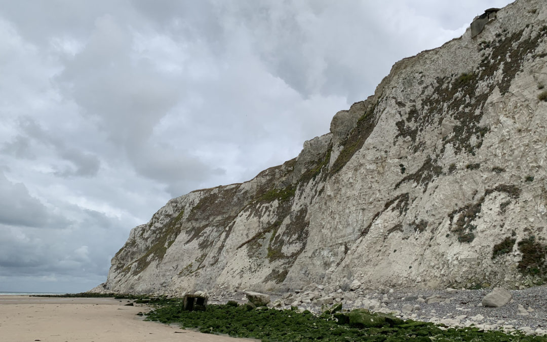

We continue along the coast. Our first destination is the steep cliffs of Cap Blanc-Nez, 10 kilometers west of Calais.
The 134-metre-high Cap is not only the most northerly cliff in France, but also guarantees a view of Dover. Great Britain seems close enough to touch. The speed at which the ferries cross the sea between Calais and Dover makes it clear why sailors pay respect to this area.
After all, the English Channel is the busiest shipping route in the world. Unfortunately, our original VW bike rack doesn't fit under the wooden barges (2.10 m). That's why we have to park a bit out of the way. But the short hike does us good. You can taste the salty air. "Fleur de Sel" for us free of charge, but not for nothing. A little further on we reach the beach. Again with a height restriction of 2.10, but this time with iron bars hanging from chains. The chalk cliffs are even more impressive from the seaside. Water runs out of the rocks. - We continue along the Route du Cap, passing Fort Cap Gris Nez, Batterie Todt, Audresselles... Highlight of the day: we keep crossing the route of the Trail Côte d'Opale. The participants of the marathon seem like a symbol of peace in this region characterized by former German bunkers and French forts. - From Boulogne-sur-Mer, we leave the coast to ride a few kilometers in the direction of Neslette.
Bei Neslette, einer Gemeinde mit 85 Einwohnern im Département Somme, verlassen wir die Autobahn um im Camping „Aux Cygnes d’Opale“, direkt am See unseren Schlafplatz zu finden. – Erkenntnis des Tages: Größe kann ein Vorteil sein, muss aber nicht! (Wir werden über eine Modifikation unseres Gepäckträgers nachdenken)
Recent Comments